Research and Extension Centers
Research across the state, impacts across the globe
Across the state, 13 Texas A&M AgriLife Research and Extension Centers are strategically positioned to address the specific needs of their respective regions. The expansive variation of landscapes, climates, environments and production scenarios across our vast landmass can replicate the conditions of nearly anywhere on Earth.
Visualizing our reach
The Texas A&M AgriLife Research and Extension Centers serve a major role in delivering abundant, affordable, and high-quality food and agricultural products to Texas, the U.S. and around the globe.
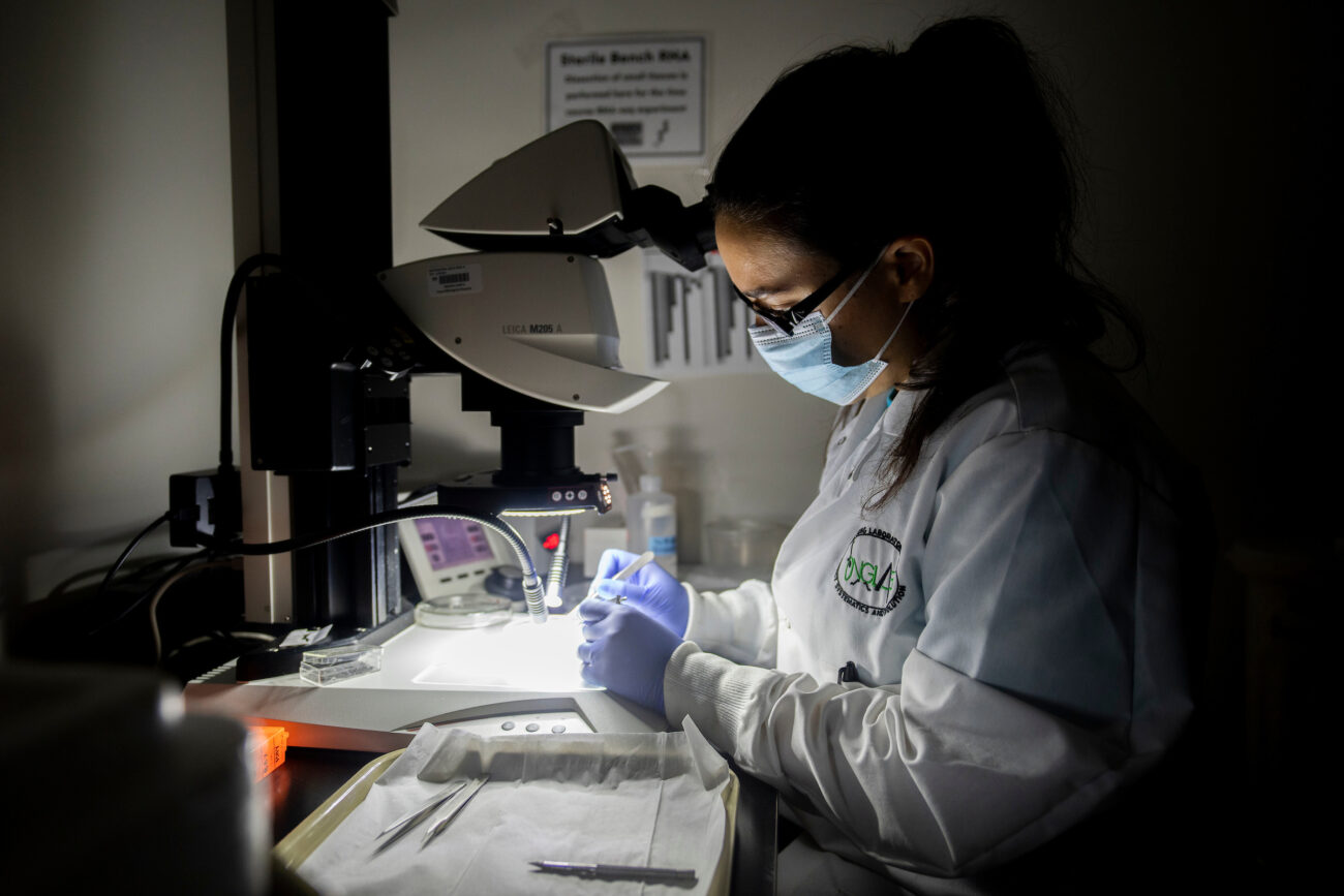
World-class scientists conducting specialized research in each region contribute to Texas A&M AgriLife Research’s standing as Texas’ premier research agency in agriculture, natural resources and the life sciences.
Use this map to see our districts and research center locations across Texas.
- Yellow pins are research centers.
- Blue circles are research stations.
We are proud to do research right where you need us. Choose a location below to learn more about the specific research topics explored in each region.

The Center at Amarillo serves the Texas High Plains and the state through research and education in environmental systems management:
- Air and water quality
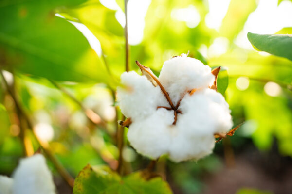
- Food, feed and fiber production
- Animal nutrition and health
- Natural resource conservation and protection
Outreach and services at Amarillo provide quality, relevant “real learning for real life” for the people and communities of the Texas Panhandle.
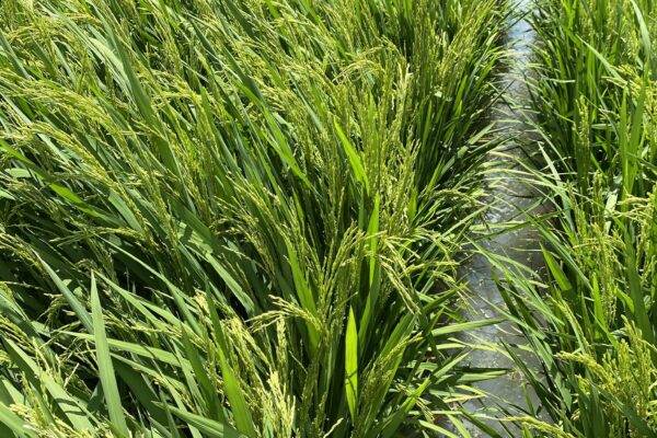
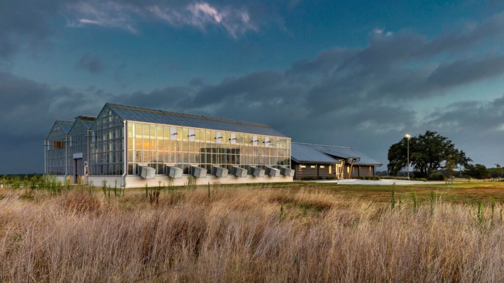
The Center at Beaumont and the David R. Wintermann Rice Research Station focus on improving production systems for rice, soybeans, sugarcane, energycane and biomass sorghum.
The Center is an international leader in the development of improved rice cultivars, rice production management systems, and quantitative analysis of cropping system interactions.
Scientists at Beaumont are recognized for the development and use of marker- and model-assisted selection methods and are credited with major research efforts in developing bioenergy crop production and management systems.
The Blackland Center at Temple has remained at the forefront of research through decision-aid technology development that assists farmers, agribusinesses, state and federal governments and conservationists.
- Big data
- Machine learning
- Computer modeling
Advances improve crop and water management, soil health, carbon sequestration and natural resources among many other areas.
The Center at Corpus Christi and its two satellite stations focus on leading “digital agriculture” with partners at Texas A&M University campuses at Corpus Christi and Kingsville. Research at Corpus hinges on big-data and modern analytics for agricultural innovation.
Translational research and digital agriculture propel researchers to develop resilient crop, animal and mariculture production systems.
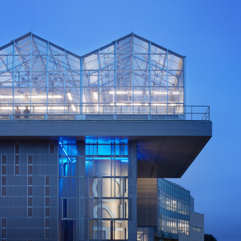
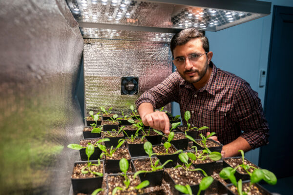
The Center at Dallas focuses on improving the sustainability of urban and suburban living through the responsible use of natural resources. Focus areas include:
- Turfgrass breeding and management
- Controlled Environment Agriculture
- Plant immunity
- Genomics and bioinformatics
- Urban water needs and stormwater issues
- Integrated Pest Management
- Plant efficiency and resilience
- Freshwater ecosystems
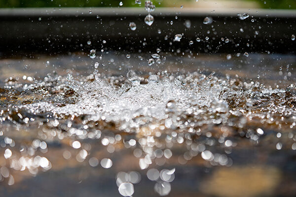
The Center at El Paso focuses on the most critical needs of Far West Texas — as well as all Texans — adequate, reliable, and economic water supplies. Potable water is a global issue.
With a regional population of more than 2 million, rapid growth has created competition for existing water resources. Environmental issues and frequent drought underscore the urgency for finding and implementing effective solutions.
Premier research at El Paso includes programs that help improve the understanding of the complex systems that connect water with energy, natural resources, agriculture, ecosystem integrity, communities and economic sustainability.
For more than 100 years, the Center at Lubbock and its satellite research stations have addressed key issues for producers in the Southern High Plains. Focus areas include:
- Soil health, chemistry, and fertility
- Air and water quality
- Plant breeding and disease
- Weed science
- Food, feed, and fiber production
- Natural resource conservation and protection
The Center at Overton targets the specific needs of the East Texas ecosystem and its communities.
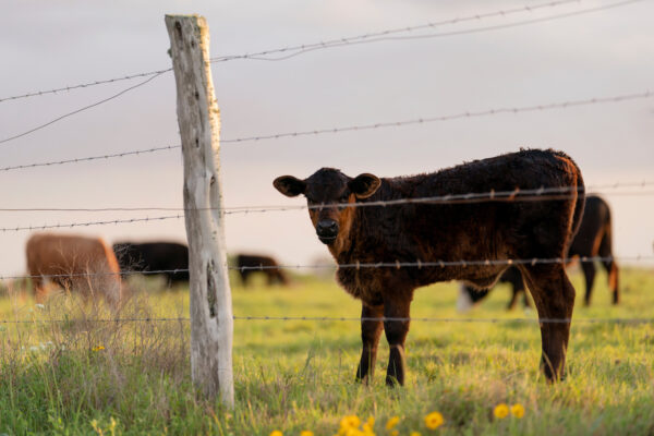
The center’s two major research programs are in forage-based beef cattle systems and horticulture, which both simultaneously address production issues as well as improve economic and environmental sustainability.
- Beef cattle
- Hay and forage crops
- Horticulture
- Soil health
- Forestry
- Agro-tourism
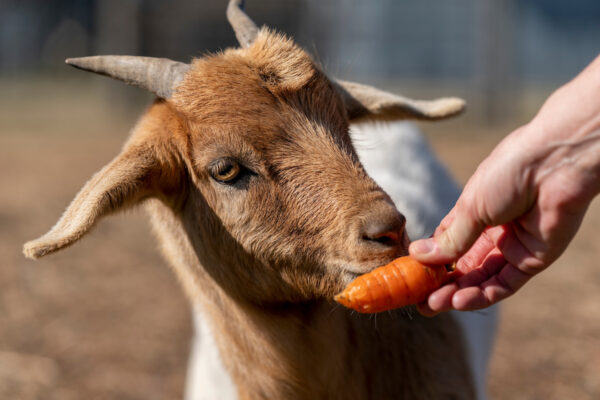
In the western part of Central Texas, the Center at San Angelo includes a satellite station and the Bill Sims Wool and Mohair Research Laboratory that addresses priority needs of national sheep, goat, wool and mohair research.
The center manages and conducts research on land and livestock spanning five counties and 20,000 acres — enhancing the agricultural resources in the surrounding area and improving quality of life.
The San Angelo Center seeks “ranching solutions” by developing technologies and practices to increase the efficiency of livestock and wildlife production while improving ecological conditions in rangelands.
The Center at Stephenville focuses on challenges where rural and urban interests intersect regionally, nationally and globally.
- Expansion of native vegetation
- Sustainable ecosystems for water and waste management
- Cropping systems
- Crop pests
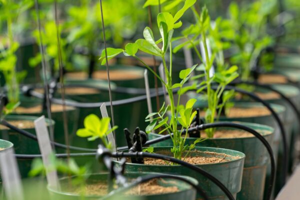
- World-class peanut breeding, genetics, profitability
- Dairy initiatives with Tarleton State University
The Center at Uvalde serves the Wintergarden and Southwest Texas — distinguished by its year-round production of crops.
- Vegetable crop improvement under stress
- Nutritional quality
- Cropping systems
- Controlled environment agriculture, CEA
- Irrigation strategies
- Soil health and genotype adaptation
- Wildlife disease ecology,
- Natural resource management
The Center at Vernon includes three satellite locations and Texas A&M AgriLife Foundation Seed, which connects public plant breeders with the seed industry.
The center’s focuses include:- Water quality
- Food, feed, fiber and biofuel production
- Animal nutrition and health
- Rangeland restoration
- Agricultural resource economics
- Natural resource conservation and protection
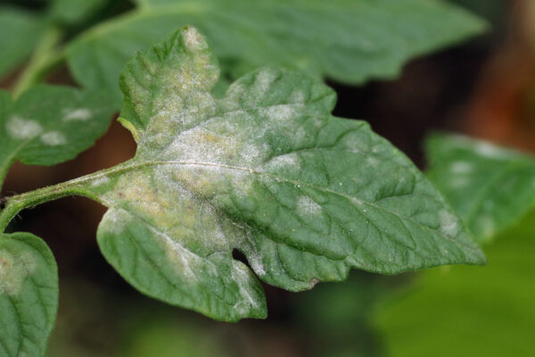
The Center at Weslaco focuses on insect-disease interactions for crops of economic importance to Texas, the U.S. and the world. These include tomato, potato, citrus, sugarcane, and various specialty crops across the sub-tropical region.
Researchers at Weslaco use cutting-edge molecular biology and plant science to create “next generation” crops that open new markets for stakeholders and help to protect environments and natural resources.
Research and Researchers at TAMU Scholars
For a comprehensive look at published research across AgriLife Research, the agencies of Texas A&M AgriLife and The Texas A&M University System — as well as information on our research faculty — visit TAMU Scholars online.
Research Across Texas
In addition to the Texas A&M AgriLife Research and Extension Centers, AgriLife Research supports new discoveries across institutes and partnership initiatives; academic departments in the Texas A&M University College of Agriculture and Life Sciences and the School of Veterinary Medicine and Biomedical Sciences; Texas A&M University System campuses with AgriLife Research joint appointments; and more.